Out on the Trails
Shots from our own rides in the Beaverhead-Deerlodge — this is what a day out here actually looks like.
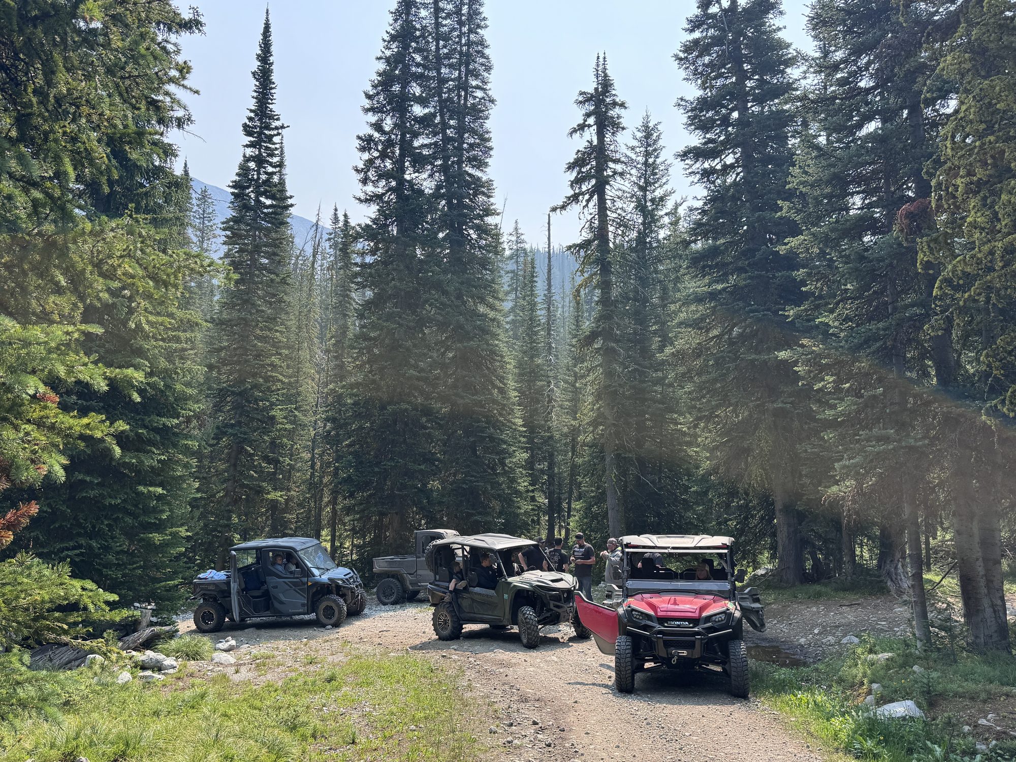
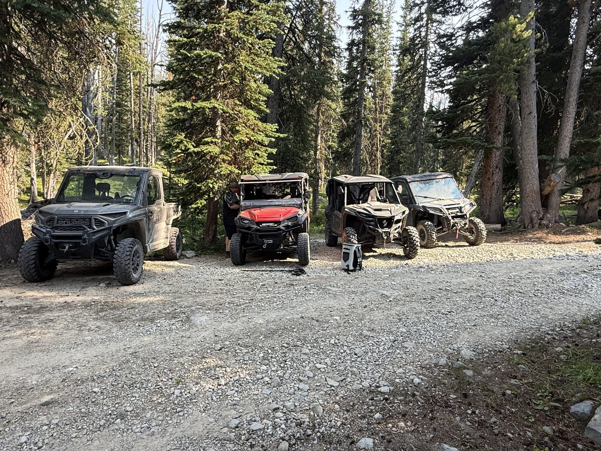
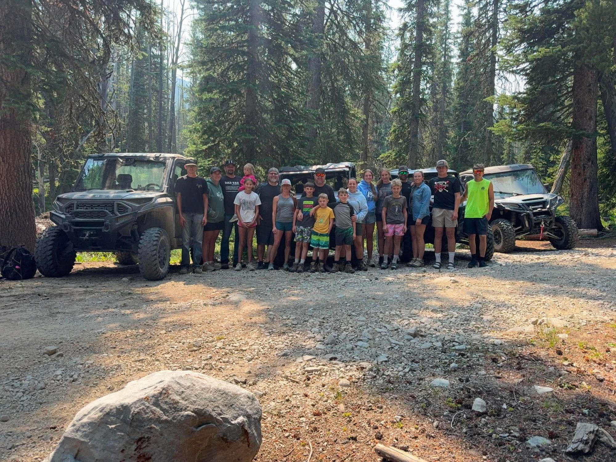
Hundreds of miles of two-track, forest roads, and mountain routes — all starting just outside the cabin.
The Beaverhead-Deerlodge National Forest is one of the most UTV-friendly landscapes in the Mountain West. The cabins border a ~500,000-acre stretch of the forest. The forest as a whole has over 2,000 miles of roads and trails across 3.3 million acres — you can ride for days without retracing your tracks. Load up and go.
Interactive terrain map centered on Wisdom, MT. Forest Service roads and trails appear in light gray; click and drag to explore. For the official "legal-to-ride" overlay, use the MVUM downloads further down the page.
Shots from our own rides in the Beaverhead-Deerlodge — this is what a day out here actually looks like.
Roll out of the driveway and you're on these in 30 minutes or less.
Heads west off Hwy 43 toward the Continental Divide. Open dirt road with spur trails into the Beaverhead Mountains — great for half-day rides.
About 18 miles NW on Hwy 43. Network of FS roads off the pass connecting toward Lost Trail. Big views, cool temps.
South toward Jackson, then west on FS 181. Connects to backcountry FS routes along the Continental Divide. Moderate to challenging.
18 miles south to Jackson, then east on FS roads into the Big Hole Range. Quiet, scenic meadows. Pair it with a soak at Jackson Hot Springs.
Northeast of Wisdom — FS roads riding the southern edge of the Anaconda-Pintler Wilderness. Higher elevation, late-season melt-out.
The two-track ranch and FS roads ringing the Battlefield NM are open to OHVs (battlefield itself is non-motorized). Mellow, flat, valley riding.
The Pioneer Mountains east of Wise River are the most celebrated UTV country in southwest Montana. Trailer over for a full day.
South of Wise River. A popular network of OHV roads around Vipond Park with views across the Pioneers. Multiple loop options.
South of Wise River. OHV routes winding through canyon country with creek crossings and mountain scenery.
Two-track spurs off the Scenic Byway connect to ridge roads with panoramic views.
A popular OHV trail linking reservoir to alpine lake. Moderate difficulty.
Note: Coordinates above are area markers — always cross-check with the current Motor Vehicle Use Map (MVUM) before riding. Trail designations and seasonal closures change.
All OHVs (ATVs, side-by-sides, UTVs) must have a current Montana OHV Registration Decal to ride on National Forest, BLM, or State lands. Cost is approximately $25–30/year. Buy at: https://fwp.mt.gov/motorvehicle
To ride on public roads (including two-track forest roads open to traffic), your machine must be street legal with a license plate. Forest roads designated on the MVUM as "open to all vehicles" require this.
You may only operate OHVs on routes designated on the Motor Vehicle Use Map (MVUM). Off-route travel is prohibited and can result in fines. Download the MVUM before you ride.
Respect posted speed limits on forest roads (typically 15–25 mph). Excessive noise disturbs wildlife and other visitors.
Do not shortcut switchbacks, create new tracks, or travel cross-country. One pass off-trail can create lasting erosion damage.
All OHVs must have a working USFS-approved spark arrestor when operating on National Forest land. This is required year-round.
Check current fire restrictions before you ride. Smoking while operating is prohibited. During Stage 2 restrictions, motorized travel may be limited to paved and gravel roads only.
The USFS publishes free Motor Vehicle Use Maps for the Beaverhead-Deerlodge showing exactly which roads and trails are legally open to motorized vehicles. These are the official maps — if a route isn't on the MVUM, you cannot legally ride it.
Download free PDFs or GeoPDFs (for Avenza Maps app): https://www.fs.usda.gov/r01/beaverhead-deerlodge/maps-guides/travel-management-maps
Avenza Maps app lets you view GeoPDFs offline on your phone with GPS location — download before you leave cell service. Available at https://www.avenzamaps.com
Paper copies available at the Wisdom Ranger District office (right in town): (406) 689-3243 — or Dillon Ranger District: (406) 683-3900
Download the Avenza Maps app and load the MVUM before you leave home — cell service in the forest is spotty.
The Pioneer Mountains area south of Wise River has the best variety of routes — all within 30 minutes of the cabin.
Check fire restriction status at inciweb.nwcg.gov before you go — Stage 2 restrictions limit motorized travel in summer.
Let us know you're bringing a side-by-side — we have storage space and can share local route knowledge.
Bring a tow strap, basic tools, and a full-size spare — you're in true backcountry out there.